New Zealand is full of breathtaking spots. Volcanic peaks, picturesque fjords, vast glaciers, and windswept beaches seem to be everywhere you look. But hiking trails, high-adrenaline sports, perfectly perched wineries, and all those hobbits mean the faraway country can no longer be considered undiscovered. Or, maybe, you just need to look a little farther.
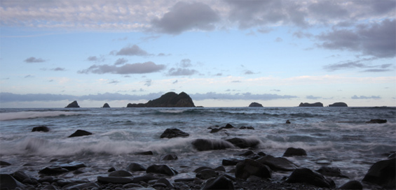
The Kermadec Islands, New Zealand’s northernmost outpost, are located 800 kilometers northeast of the North Island. The 15 islands and rocks look like they were dropped into the South Pacific. They’re volcanic, isolated, and largely uninhabited. Visitor permits are restricted to environmental restoration volunteers. So they have—and should—remain pristine.
Raoul Island, the largest of the Kermadecs, was once inhabited by the Polynesians. But when the Europeans arrived, in 1788, the island had been deserted. A small community was established in the early 19th century, before the islands were turned into a nature reserve in 1937. Raoul Island Station, run by the Department of Conservation, is now home to a meteorological and radio station.
The island is known for its crater lakes, steep cliffs, and bird-nesting spots. Moumoukai Peak (the islands’ highest peak), Fleetwood Bluff, and the station sit near the northern coast. Red-flowering Kermadec pōhutukawa and nīkau palms fill the interior. Kermadec red-crowned parakeets and Australasian harriers live among them.
The Pumice Flats surround the three lakes: Tui, Blue, and Green. Green Lake erupted as recently as 2006. D’Arcy Point, on the east coast, overlooks Boat Cove, the Dougall Rocks, and the endless Pacific. Wooden huts and rusty wrecks dot the coastline. While hundreds, if not thousands, of spotted black gropers, Galapagos sharks, and sea urchins live in the strong current just offshore. It’s the undiscovered New Zealand. Ready to volunteer?
